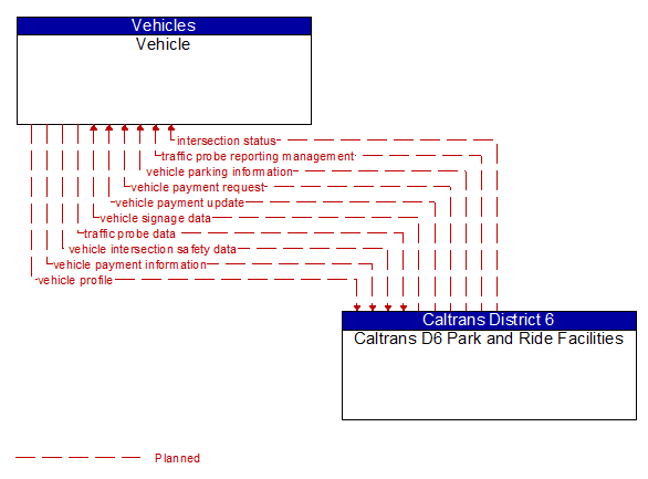
Interface: Vehicle - Caltrans D6 Park and Ride Facilities
Architecture Flow Definitions
intersection status (Planned)
Intersection status including current operational status, signal phase and timing information, intersection geometry, surface conditions, warnings of potential violations or hazardous conditions, and approaching vehicle information. This may include information about the position, velocity, acceleration, and turning status of approaching vehicles.
traffic probe data (Planned)
Vehicle data that is used to determine traffic conditions. In a basic implementation, the data could be limited to time stamped unique identifiers that can be used to measure a vehicle’s progress through the network. In more advanced implementations, the vehicle may report current position, speed, and heading and snapshots of recent events including route information, starts and stops, speed changes, and other information that can be used to estimate traffic conditions.
traffic probe reporting management (Planned)
Data used to manage probe data reporting by vehicles. This flow indicates to the vehicle when to report probe data, the type of probe data to send, and thresholds for nominal conditions when sending data can be skipped.
vehicle intersection safety data (Planned)
Vehicle path and acceleration data provided by vehicles approaching or occupying an intersection. It identifies the intersection, vehicle position and motion, the anticipated lane and movement that will be used in the intersection, and notification of potential violations or other detected safety hazards.
vehicle parking information (Planned) Applicable ITS Standards
Parking information for in-vehicle display that is provided to vehicles approaching or in parking facilities. The information provided would include static sign information (e.g., guide signs, service signs, height, width, and weight restrictions, and directional signs) and dynamic information (e.g., current parking availability and locations).
vehicle payment information (Planned) Applicable ITS Standards
Information provided for payment of tolls and parking fees including identification that can be used to identify the payment account or source and related vehicle and service information that are used to determine the type and price of service requested.
vehicle payment request (Planned) Applicable ITS Standards
Request for information supporting toll and parking payments.
vehicle payment update (Planned) Applicable ITS Standards
Data written to vehicle equipment to support electronic toll collection or parking payment.
vehicle profile (Planned)
Information about a vehicle including vehicle type and equipment capabilities.
vehicle signage data (Planned)
In-vehicle signing data that augments regulatory, warning, and informational road signs and signals. The information provided would include static sign information (e.g., stop, curve warning, guide signs, service signs, and directional signs) and dynamic information (e.g., current signal states, grade crossing information, local traffic and road conditions, advisories, and detours).