Interface: San Joaquin Valley Air Pollution Control District Mobile Source Emissions Monitoring - Fresno Area Environmental Detection System
Architecture Flow Definitions
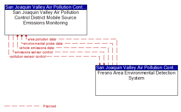
area pollution data (Planned) Applicable ITS Standards
Measured air quality data, including measured levels of atmospheric pollutants including ozone, particulate matter, carbon monoxide, and nitrogen oxides, and operational status of the sensors.
emissions sensor control (Planned) Applicable ITS Standards
Data used to configure and control vehicle emissions sensors.
environmental probe data (Planned)
Data from vehicle safety and convenience systems that can be used to estimate environmental conditions, including measured air temperature, exterior light status, wiper status, sun sensor status, rain sensor status, traction control status, anti-lock brake status, and other collected vehicle system status and sensor information. The collected data is reported along with the location, heading, and time that the data was collected. Both current data and snapshots of recent events (e.g., traction control or anti-lock brake system activations) may be reported.
pollution sensor control (Planned) Applicable ITS Standards
Data used to configure and control area pollution and air quality sensors.
vehicle emissions data (Planned) Applicable ITS Standards
Measured emissions of specific vehicles comprised of exhaust pollutants including hydrocarbons, carbon monoxide, and nitrogen oxides.